news LIDAR on the Trail – Program Facts & How to Respond
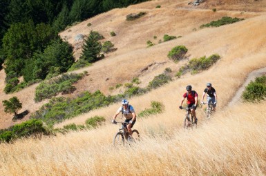
As reported in a recent story, Marin County Open Space District (MCOSD) is now trying a pilot program that will deploy two LIDAR (Light Detection And Ranging) devices in Open Space preserves. The goal is to gather data as MCOSD continues to implement the Road and Trail Management Plan opening more trails to people riding bicycles.
MCBC has been working on a number of proposals which increase trail access. We understand Open Spaces’ decision to include LIDAR as an educational tool. The goal is not to issue citations, but to collect data and talk to people about speed.
The duration of the LIDAR pilot program will be determined by your actions!
To assure that Open Space rangers collect data that supports MCBC’s work to expand trail access in Marin, we always ask that you keep your eyes open for other trail users – including rangers – slow down if you see anyone and be cooperative and respectful.
Recommendations:
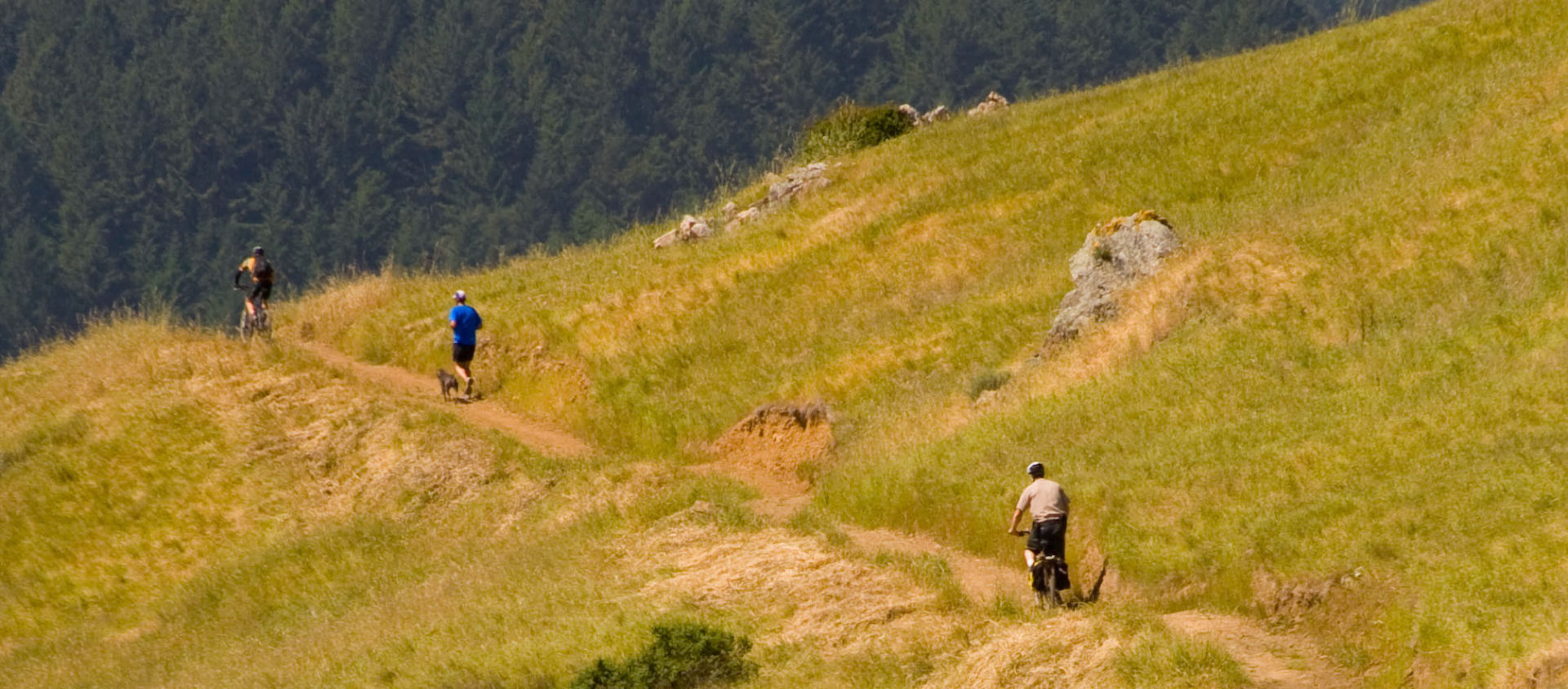
Do slow down, and be prepared to stop, whenever approaching another trail user.
Do announce your presence by ringing a bell and/or saying “Howdy, Hi or Hello!”
Do be courteous to Rangers, Sheriffs and all other trail users.
Do take responsibility for managing and knowing your speed of travel.
Don’t debate the program or argue with a ranger or sheriff out on the trail. If you feel you were not treated fairly, report the incident to MCBC and/or Open Space management. Please cc tom@www.marinbike.org on any such reports.
LIDAR Program Facts:
LIDAR is only being deployed on Marin County Open Space lands, which represents 10% of Marin’s 150,000 acres of parkland.
Tickets are not being issued at this time, but rangers and sheriffs may issue warnings to people traveling above the speed limit. Rangers using LIDAR in Open Space will be stationed in open areas viewable from a distance.
Two LIDAR devices were originally purchased with Measure A funds in response to accidents on the Mill Valley/Sausalito Pathway and their use resulted in a decline in user complaints and incidents tied to bike rider speeds on that path.