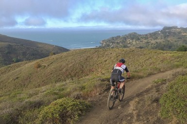
Parks Assessing Speeds on Unpaved Roads, Trails LIDAR Coming to A Trail Near You
Following the successful use of speed reduction methods on a popular paved multiuse pathway, Marin County Parks plans to use the same technology to improve safety on unpaved fire roads and trails on Marin County Open Space District lands.
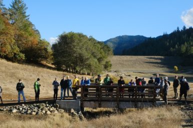
We understand Parks’ decision to utilize Lidar and are pleased that they have been receptive to our recent new trail proposals, which are moving forward. These new opportunities go hand in hand with new educational efforts and MCBC outreach.
Starting in April, Parks will implement laser technology of LIDAR devices to record speeds of open space users on fire roads and trails that have generated the most complaints about unsafe conditions related to speed. LIDAR, short for Light Detection and Ranging, employs narrow laser pulses that are more accurate in calculating speeds than the more commonly known RADAR readings.
As part of its Share the Path initiative, Parks has used LIDAR and other speed-reduction measures on the Mill Valley-Sausalito Multiuse Pathway. The initiative launched in May 2015 as a partnership between the County of Marin, the City of Mill Valley and MCBC. While we were worked to improve safety on the path, a serious accident between a cyclist and pedestrians in September 2014 underscored the need for immediate action.
“Since then, Parks has seen a decline in user complaints and incidents tied to bike rider speeds on that path, which we see as a sign that the Share the Path effort has been successful,” said Pat O’Brien, Interim Director of Marin County Parks. “It’s gone very well. For years we’ve had concerns expressed to us about safety on unpaved roads and trails, so we think it’s natural to use a proven program in our open spaces. I wish to emphasize that the great majority of bike riders respect safety when they ride on the Open Space trails.”
One goal of the existing Parks’ Road and Trail Management Plan is to improve visitor experience and visitor safety for all users, including people hiking, riding bikes and horses.
Marin County Open Space District Land use regulations mandate a 15 mph speed limit (5 mph when passing and around blind corners), but rangers have not had an accurate tool to measure speed.
Although injury collisions between open space users are extremely rare, uneasiness about safety still exists with some preserve visitors. Deputies from the Marin County Sheriff’s Office will begin using LIDAR and RADAR devices within open space preserves in April.
“This new measure will augment our current efforts to address violations and hopefully lead to a safer and more enjoyable experience for visitors,” said Ari Golan, Acting Parks and Open Space Superintendent. “We’re doing our best to ensure safety concerns are not a deterrent to residents and visitors who want to explore the beauty of Marin.”