news Marin County North-South Greenway Interactive Map
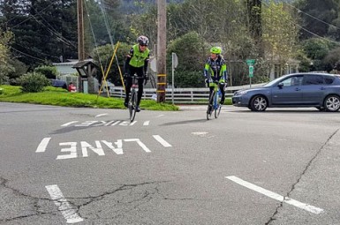
MCBC’s highest organizational priority is the completion of the North-South Greenway, a continuous bicycle and pedestrian pathway connecting communities along the 101 corridor; key projects include Alto Tunnel, which lies between Corte Madera and Mill Valley, and the SMART pathway system, which will complete the Greenway from San Rafael to Cloverdale.
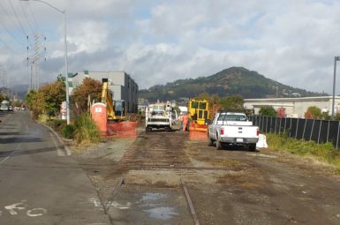
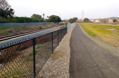
For decades, Marin and Sonoma Counties have held a vision for the Greenway along the former Northwestern Pacific Railroad alignment. Substantial progress has been made in recent years – most notably including the opening of Cal Park Hill Tunnel and Central Marin Ferry Connector Bridge (pictured above) – but challenging gaps remain.
Use the interactive map below to view the alignment and learn more about the statuses of various Greenway segments.
North-South Greenway Status, Marin County
Complete: 11 miles / Incomplete: 12 miles / On-Street Connections: 7 miles