US-101 and Route 1 between Marin City and the Manzanita Park & Ride MCBC Fights to Protect the Mill Valley-Sausalito Pathway
Caltrans, California’s state transportation agency, is in the early stages of a project to address sea level rise on US-101 and Route 1 between Marin City and the Manzanita Park & Ride. In advance of the project’s kick-off meeting on February 29th, MCBC members sent upward of 80 letters to the agency demanding that the project include the Mill Valley-Sausalito Path as well and not just the highway.
The Background
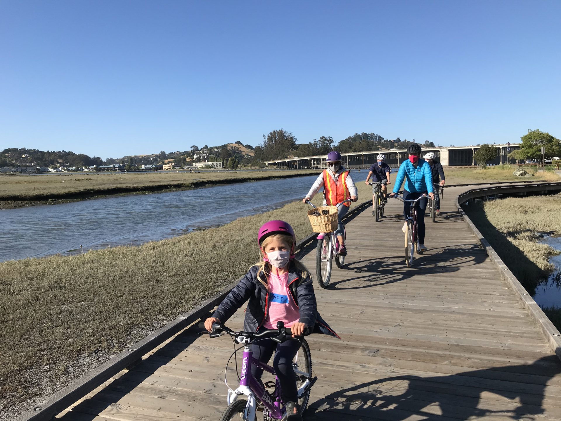
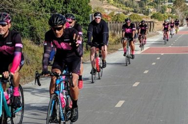
The Mill Valley-Sausalito Path is perhaps the single most heavily traveled multiuse pathway in Marin County, as well as the most threatened by sea level rise. On a clear day, the path sees multiple thousands of users of all ages and abilities: seniors walking their dogs, teens biking to Tam High, parents out for a stroll, or roadies heading out for a ride. A key part of the North-South Greenway, it truly is Marin’s bicycle and pedestrian highway.

Project area for the Evolving Shorelines Project run by Marin County Parks
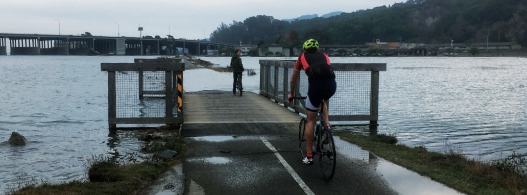
And yet, much of it is at risk of being lost to climate change and sea level rise. As anyone who uses the path regularly knows, this winter has been especially bad, with king tides and storm surges flooding the path regularly. This has forced many to simply turn back or take another mode of transport. Some bicycle riders, with no other choice, have been forced to ride on the shoulder of US-101, a horrifying prospect.
Northern Segment – Bothin Marsh Project
There is already an active project to address this issue on part of the Mill Valley-Sausalito Path, between the Almonte Park & Ride and the Manzanita Park & Ride, passing by Tam Junction. This project, being developed by Marin County Parks (read more about it here), will realign the path from its current location to travel along Almonte Avenue and behind Tam Junction.
This project is in design and is still in need of funding for construction, but represents an important step for preserving bicycle and pedestrian access through this corridor (and will help to preserve the health of the marsh itself).

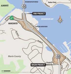
Project area for the US 101/SR-1 Sea Level Rise project, run by Caltrans
Southern Segment – Caltrans Sea Level Rise Project
Between Gate 6 Road and Pohono Street, the Mill Valley-Sausalito Path is the only route for people traveling outside of a car or bus due to the lack of a local street. Your options are the path or the freeway. If the path is flooded, there is no alternative route for people walking or biking.
We have been urging our county’s planners to act to preserve this most crucial segment of pathway. When we learned that Caltrans was starting a project to protect US-101 and Route 1 from sea level rise, we decided that this would be the ideal time to protect the path as well. If a multimillion-dollar project is taking place on the corridor, it would be folly to focus solely on motorized modes and not active ones. A holistic approach would be cheaper and more efficient and would result in pathway protection happening sooner.
What’s Next
While over 80 people wrote to Caltrans to urge that the pathway be protected as well, it’s still not a sure thing. To be told that the only biking or walking route between central and southern Marin will be “considered” isn’t exactly reassuring.
Please take two minutes to email the project team at this address. Here are the talking points you can use.
– The path floods today and will get worse with sea level rise
– If the path is flooded, walkers and riders must turn back or use the freeway shoulder
– The path is the only way between central and Southern Marin, or between most of Marin and San Francisco for those outside a car
– If we are protecting the freeway, we must protect the path.
We will be keeping you in the loop as more information is released.
Sign up for advocacy alerts
We will need your help ensuring these bills get passed! Please sign up for advocacy alerts using the form below and we’ll tell you when/how to support our efforts.
members make it happen
We’re working to make Marin more bike-friendly for people of all ages and abilities. Are you with us?


