Off-Road Ponti Ridge Trail Wins Best New Trail
We are excited to share the news that the Ponti Ridge Trail in North Marin was recently awarded “Best New Trail” at the California Trails and Greenways Conference in April.
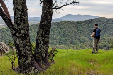
Big Rock Trail, off Lucas Valley Road, gave mountain bikers a way to explore and enjoy Marin’s second tallest ridge line from its western edge. The trail offers spectacular views and a gradual climb up a good portion of Big Rock Ridge. But for most, the trail was an out and back experience and the only trail worth riding on the ridge.
MCBC had been pursuing a better option for climbing the east side of Big Rock Ridge for many years, as the previous options, Queenstone and Chicken Shack Fire Roads, are extremely steep and exposed.
The Ponti Ridge Trail provides a much more gradual climb of the east face of Big Rock Ridge and is mostly in a shaded canopy of oaks, bays and madrone trees, and acts as a companion trail to the Big Rock Ridge Trail to the west. Both trails are featured in the newly created Solstice Scorcher route, which you can preview in June by registering for the MCBC Dirt Fondo. The route will be released to the general public this fall.
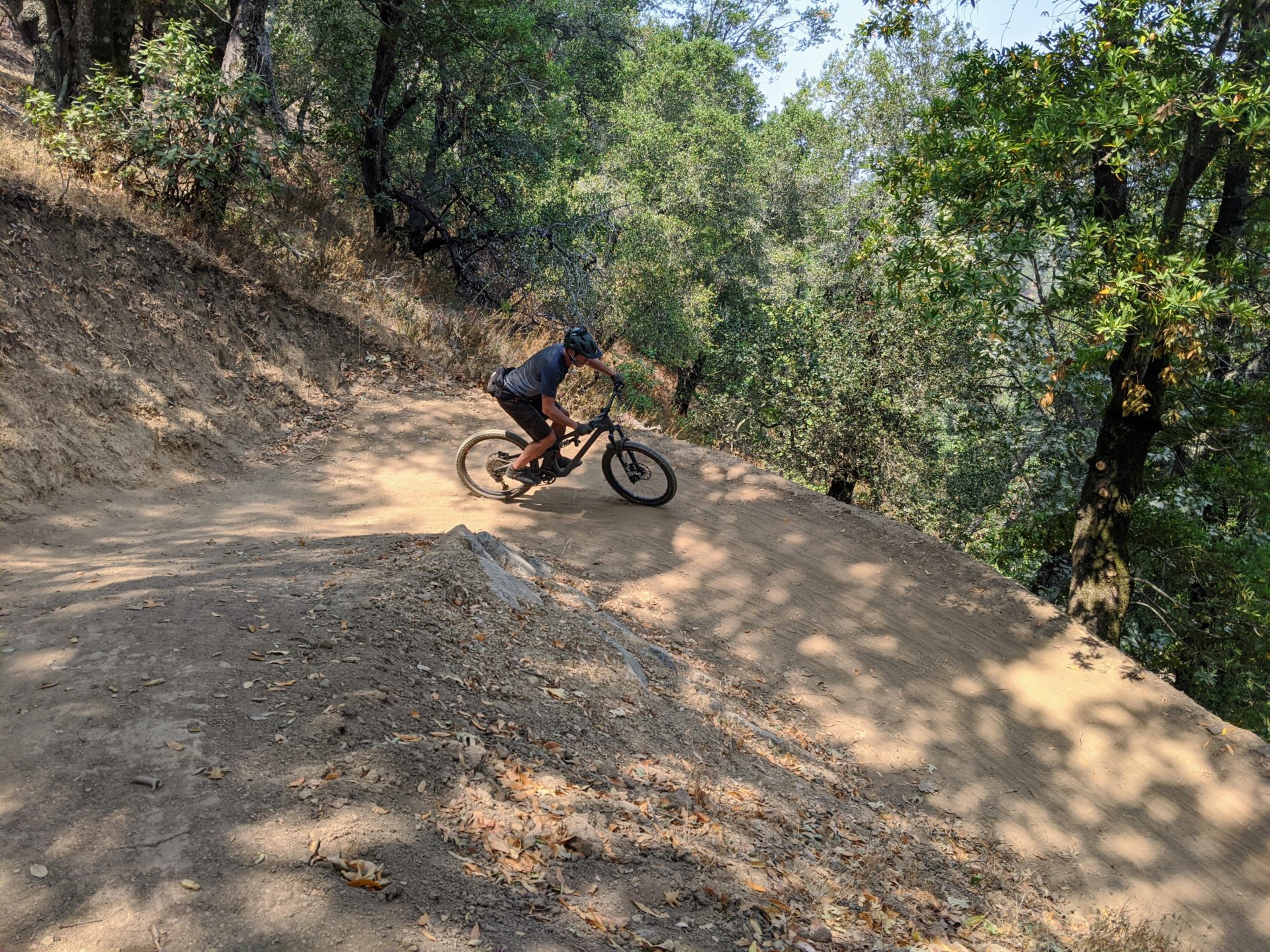
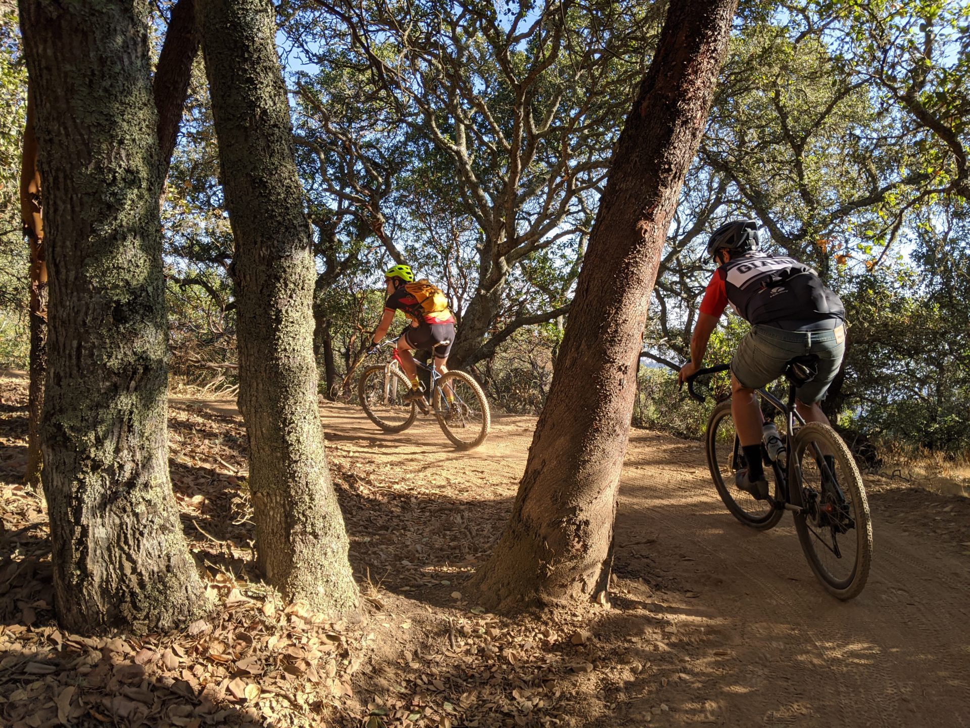
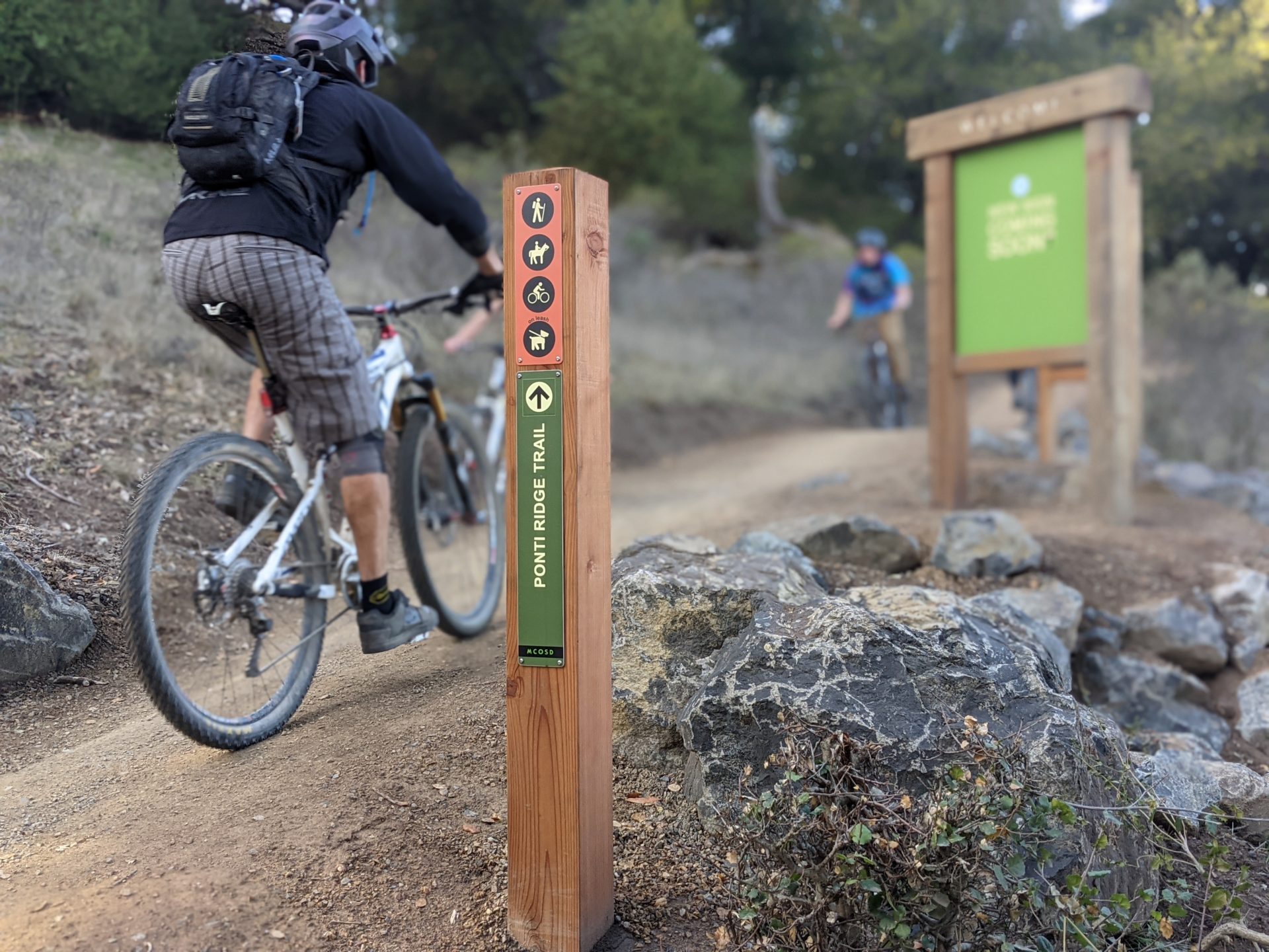
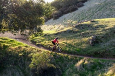
The Ponti Ridge Project was completed last fall and opened to the public around the new year. It converted the Ponti Fire Road, an extremely steep fire road with a history of geologic instability, into an immensely popular multi-use recreational trail.
MCBC provided input on the trail alignment and design. We recommended grade reversals and climbing turns. We also suggested an alignment that would immerse bicyclists in the wonders of the ridge line, while avoiding impacts to the amazing oak and madrone canopy, native grasses and flowers, and local wildlife.
The Ponti Ridge Trail planning process included an inclusive and transparent process with the environmental community contributing to a low-impact outcome. This coalition of broad community support led to the success of this exciting project and has fundamentally changed the MCOSD approach to the stakeholder process.
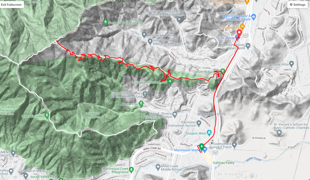
This represents the largest trail project that the MCOSD has ever undertaken. It took 3 years to plan, 18 months to construct, and required 4 different land agreements for public access trail easements with neighborhood HOAs, Caltrans and adjacent public land agencies. The project was entirely designed, planned and built with in-house staff and included over 680 tons of rock and 3 miles of newly designed and constructed 5-foot wide trail which gains 1200’ of elevation. The trail has a connection to the Pacheco Pathway near the old Marin IJ building between Marinwood and Ignasio.
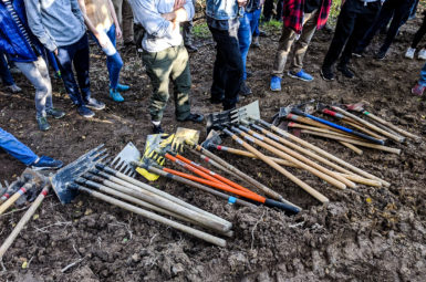
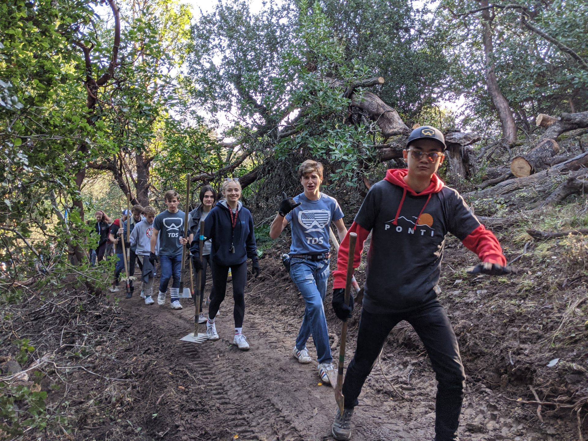
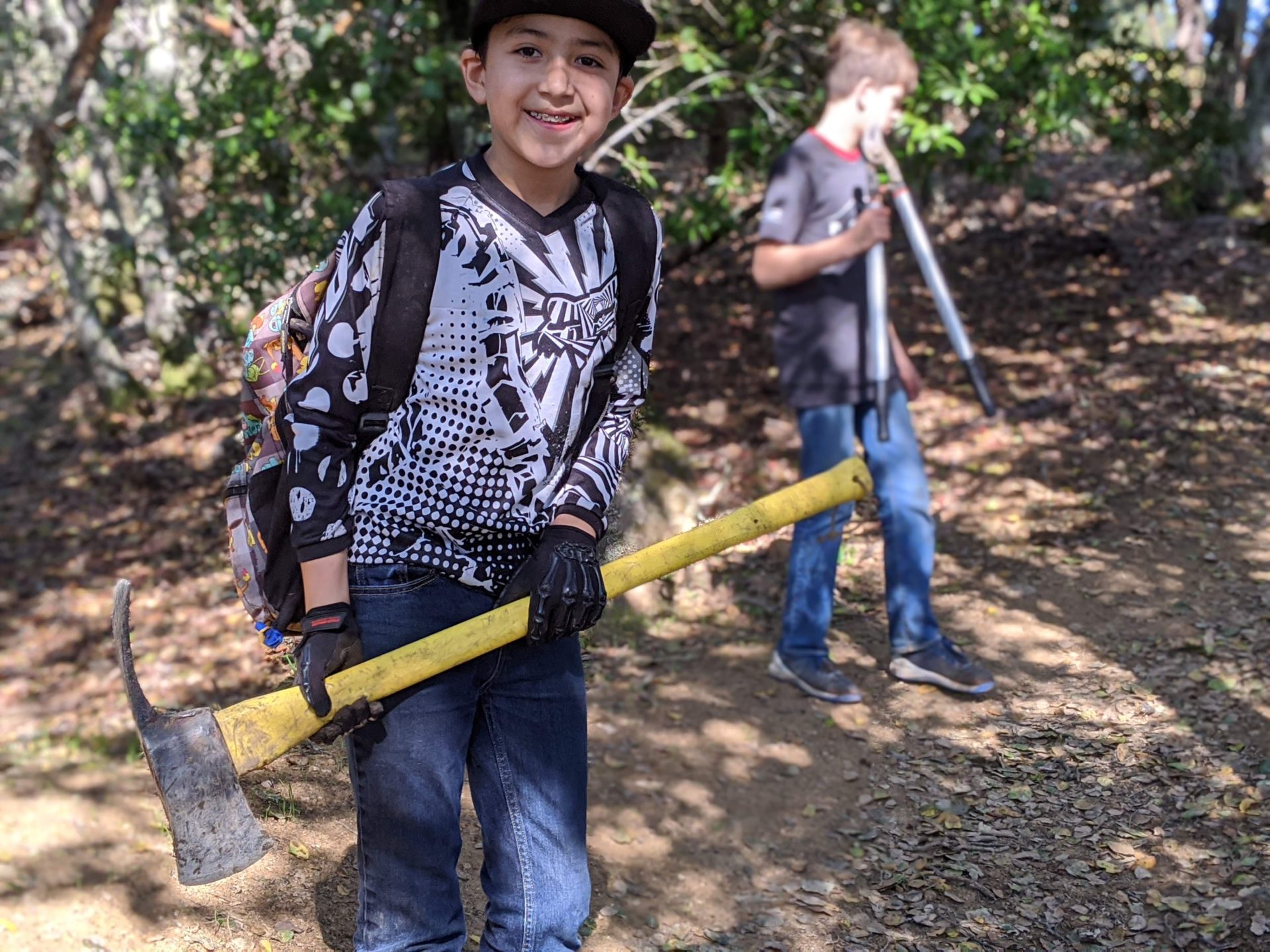
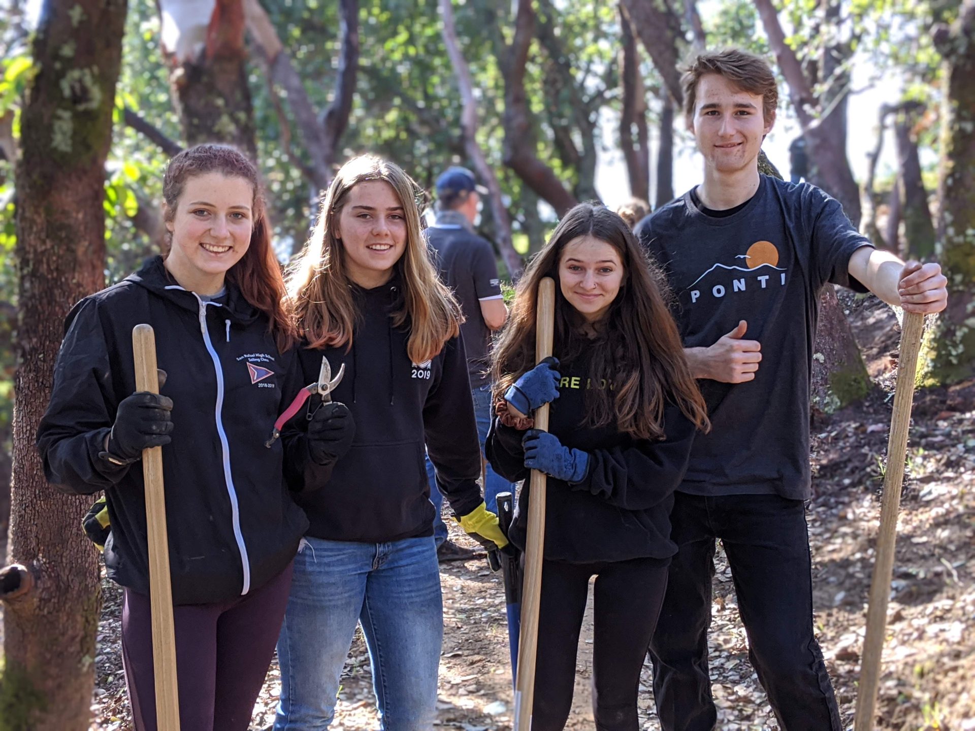
The project included an extensive habitat restoration component as 1.2 miles of fire road were restored. MCBC volunteers as well as high school students from the Marin NorCal mountain bike teams helped with the restoration work as well as construction.
The trail is quickly becoming one of the most popular recreational destinations in Marin County for hikers and cyclists. Congratulations Marin County Parks! Go check it out!
Map
members make it happen
All of our work to make Marin more bike-friendly is powered by your generous giving. Join the team fighting on your behalf for expanded trail access today!